In Mendota Heights, Bluff Acreage and Buildable Acreage Are Two Different Numbers
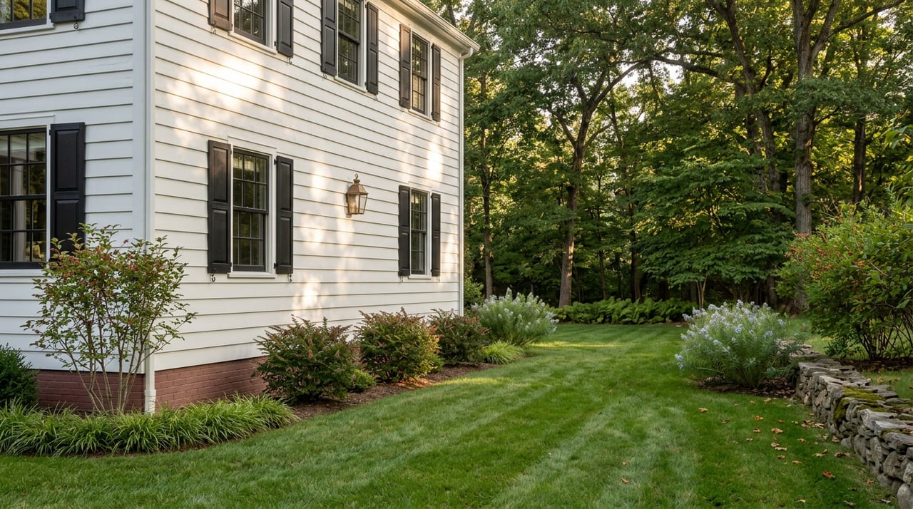
As the Star Tribune reported, a buyer purchased two lots on a wooded river-bluff property in Mendota Heights. Not long after, neighbors noticed contractors regrading roughly 10,000 square feet of the bluff-top ground. They called the city. Mendota Heights issued a stop-work order because the grading had happened without a permit, and the property sat inside the Mississippi River Corridor Critical Area, a state-designated protection zone that governs what you can build, clear, or move on land near the river even when that land isn't touching the water.
This example illustrates why buyers considering a bluff lot should look beyond its total acreage. The acreage on a Mendota Heights listing and the acreage you can actually build on are frequently two different numbers, and the difference depends on where the bluffline falls and which other site-specific restrictions apply.
The bluffs on the property described in the Star Tribune account weren't even directly on the river. They sat back roughly 1,000 feet, according to reporting on the case, yet they were still governed by rules meant to protect the river's scenic quality, water quality, and wildlife habitat. That's because the critical area doesn't follow the waterline. It follows a mapped corridor that runs along the northern edge of Mendota Heights near State Highway 13, also known as Sibley Memorial Highway, and near the city's borders with Mendota and Lilydale. If your prospective lot falls inside that boundary, the state and the city regulate it whether or not you can see the Mississippi from your kitchen window.
Colleen O'Connor Toberman, land use and planning program director for Friends of the Mississippi River, told the Star Tribune that confusion like this isn't unusual. She said people are often surprised to learn a property that isn't directly on the river is still subject to river protections.
"They're the only city that requires permits for almost anything you do in the critical area."
That's O'Connor Toberman describing Mendota Heights specifically, comparing it to the other 20 cities along the same 72-mile corridor. The rules exist everywhere in the critical area. The enforcement culture here is unusually consistent.
Once a parcel sits inside the critical area, three numbers start doing the real work of defining what you can build, and none of them show up in a listing's acreage figure.
None of these are unusual by national standards. What makes them relevant to a Mendota Heights buyer is how they interact with a bluff lot's shape. A parcel advertised as "over two acres" with a walk-out bluff topography might have most of its usable flat ground concentrated in a strip that sits partly inside that 40-foot buffer. The listing acreage is a survey number. The buildable footprint is a separate calculation that depends on where the bluffline actually falls, and that line has to be located by a licensed surveyor, not eyeballed from a plat map.
Right now there's a bluff lot on the market off Glenhill Road in Mendota Heights, described as just over two acres with a walk-out topography and potential downtown skyline views. The listing states plainly that the buildable area sits on the bluff itself. That's useful disclosure, but it also means the buyer's real due diligence question isn't "how many acres" but "how many of those acres sit outside the 40-foot setback, and does the proposed home footprint fit inside what's left."
Compare that to a different property currently listed on Hunter Lane, spanning three contiguous parcels across 3.35 acres with sweeping western views over the Minnesota River Valley. That listing states directly that two of the three parcels are buildable, treating the third as land that supports the setting rather than a future foundation. For a buyer, confirming which parcel, or which portion of a parcel, clears the bluff and septic setbacks is a useful due-diligence step.
It would be easy to treat the critical area as a fixed rulebook nobody thinks about anymore. The record from Mendota Heights' own Planning Commission says otherwise. A permit application for new construction at 1867 Hunter Lane, filed by a local contractor, had its public hearing opened in July 2025 and was tabled rather than approved outright, with commissioners debating whether the proposed home sat closer to the bluff than the structure it was replacing. That's the ordinary pace of an MRCCA case here: public notice, a hearing, commissioner questions about setback consistency with neighboring homes, and sometimes a delay while details get resolved.
The city was still refining the underlying rules as recently as this spring. A May 2026 council packet shows staff and commissioners working through revisions to vegetation-removal language, debating where the ordinance's requirements apply outside the wetland and critical area boundaries and where they don't, with one commissioner noting the difficulty of enforcing a rule that isn't clearly mapped. None of this is finished business. If you're buying land here, you're buying into a regulatory framework the city is still actively shaping, not a rulebook that stopped changing years ago.
If a bluff lot or river-valley acreage in Mendota Heights is on your list, a few steps before you make an offer can help you understand the requirements that may apply to the property.
None of this is a reason to avoid Mendota Heights' bluff properties. As of June 2026, the median home price in the city sat at $1,040,000, with an average sale price of $1,210,995 and homes spending an average of 39 days on the market, numbers that reflect a market still very much active for exactly this kind of premium, view-driven property. The point isn't caution for its own sake. It's that the acreage figure on a bluff listing here answers a different question than the one a serious buyer needs answered.
Does the critical area cover the whole city, or just the riverfront? Only a defined corridor near the northern edge of Mendota Heights, close to State Highway 13 and the borders with Mendota and Lilydale, falls inside the Mississippi River Corridor Critical Area. Most of the city sits outside it entirely.
If my lot is set back from the river, am I still affected? Possibly. The property described in the Star Tribune account sat roughly 1,000 feet from the river and was still governed by critical area rules, because the boundary follows a mapped corridor rather than the water's edge.
Do I need a permit just to landscape? The city's own guidance lists vegetation removal and land alteration among the projects that require an MRCCA permit inside the corridor, alongside additions, retaining walls, and septic system changes. If your property falls inside the boundary, it's worth checking before any significant grading or clearing begins.
If you're weighing a bluff lot, a river-valley parcel, or any property in Mendota Heights where the critical area might apply, Natasha Cejudo can help you get the survey questions answered and the permit history pulled before you're emotionally attached to a view you may not be able to build against. Let's connect: start the conversation.
This article is general information, not legal, tax or financial advice. Consult a qualified professional about your situation.
Market Update
Macalester-Groveland, Highland Park, Summit Hill, Summit University & Merriam Park | October 12 to 19, 2026

Blog
Which is why this newsletter is over four hours late.
Market Update
October 5 to 12, 2026
Blog
September 27 to October 5, 2026

Market Update
All in good light
Natasha prides herself on an honest, transparent, and comprehensive approach based on mutual understanding and clear communication. She is patient, insightful, attentive, and responsive; her professionalism, humor, and candid approach make her a joy to work with. If you are considering a move this year or next, she would welcome a conversation with you!